Where do we go from here?
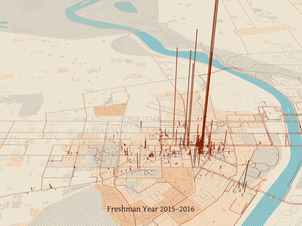
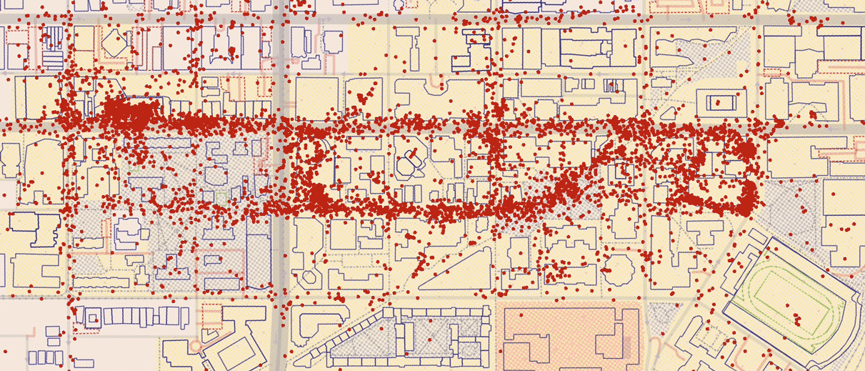
Data visualization mapping 4 years of location history at Penn
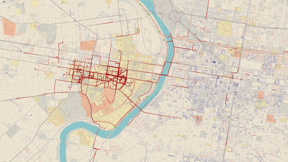
A data visualization project mapping four years of location history from Google Maps data collected during my time at the University of Pennsylvania.
The title comes from a Chris Rene song I listened to during middle school. The animated GIF shows typical hourly movement patterns across Philadelphia.
Stats:
- 7,410 kilometers traveled over 4 years
- Average 7.4 miles per day
- 2.5 weeks to create the visualization
The project explores how data visualization can reveal personal behavioral patterns while raising questions about digital surveillance. I've since disabled Google's location history feature.
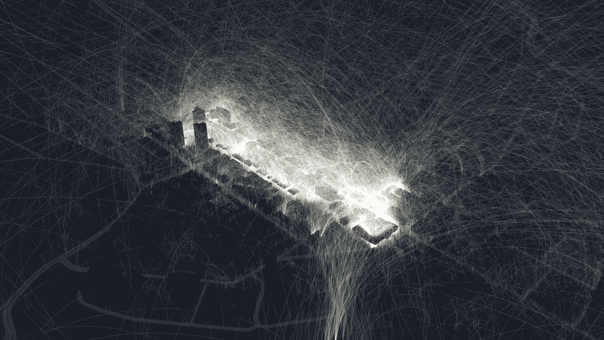
Visualizations
Abstract renderings without the city map overlay, designed as screensavers and wallpapers.